Photogrammetry for historic buildings
May 26, 2021 | heritagestanding.com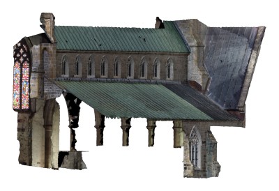
At HSI, we experiment with cutting-edge technology in order to solve difficult and unusual engineering goals. Because many of our clients are non-profits or individuals with limited budgets, we are always on the lookout for new techniques which can reduce costs. One that we are particularly proud of is using drone images and photogrammetry to generate 3d models of heritage structures that otherwise would only have been available through expensive laser scans or extremely time-consuming hand measurements.
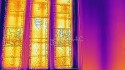
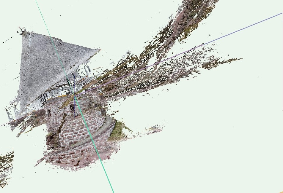
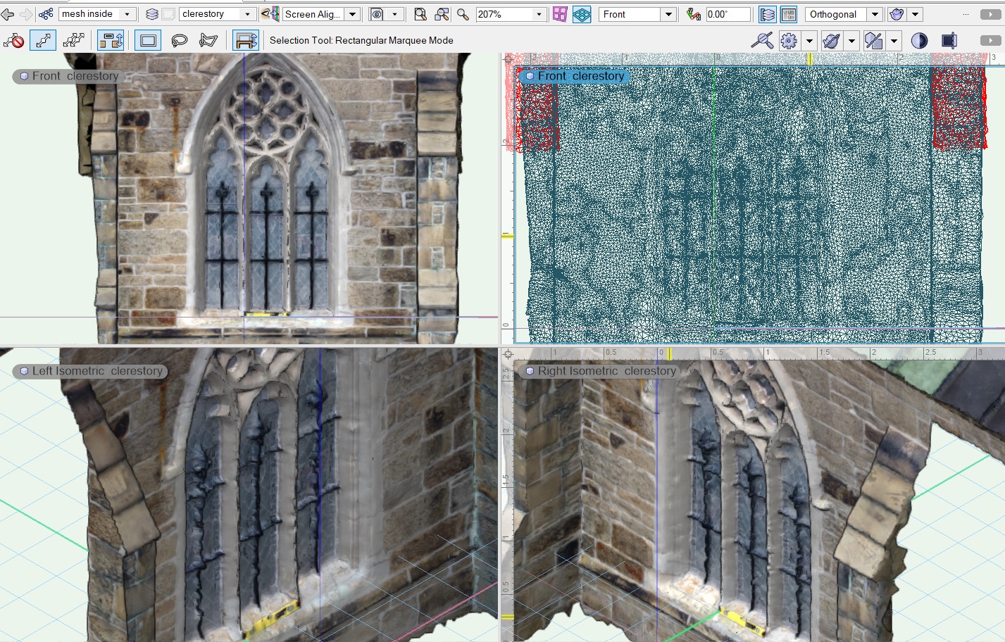
Photogrammetry works by using algorithms that recognize and match 3d points to combine numerous (often several hundred) images into a single model. Until very recently the limitations of technology and processing power restricted the technique to academic research, but it is now becoming widely available, though it is still not straightforward, requiring several different programs to change a series of hundreds of images into a model our engineers can analyze. Sometimes the initial failures are very entertaining, as in this tower that looks like it came out of a Harry Potter landscape.
But once we make it work, it’s not only really impressive, but incredibly useful. Unlike a photo which has only one point of view, with a 3d model, we can examine structural features from multiple angles, giving us much more insight into how the structure is functioning or failing.
It also gives our clients a record of how the building is doing at a specific point in time, which we can return to if necessary in the future to determine how much and how quickly changes are occurring.
And one more point. It’s pretty good for fundraising too, because the images are gorgeous.
Sophia Petrovich, M.A.
Heritage Standing Inc.
spetrovich@heritagestanding.ca
office: 506 459 3203
heritagestanding.ca